
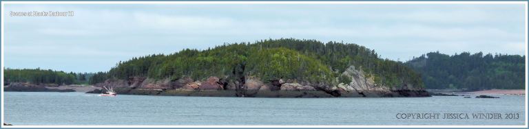
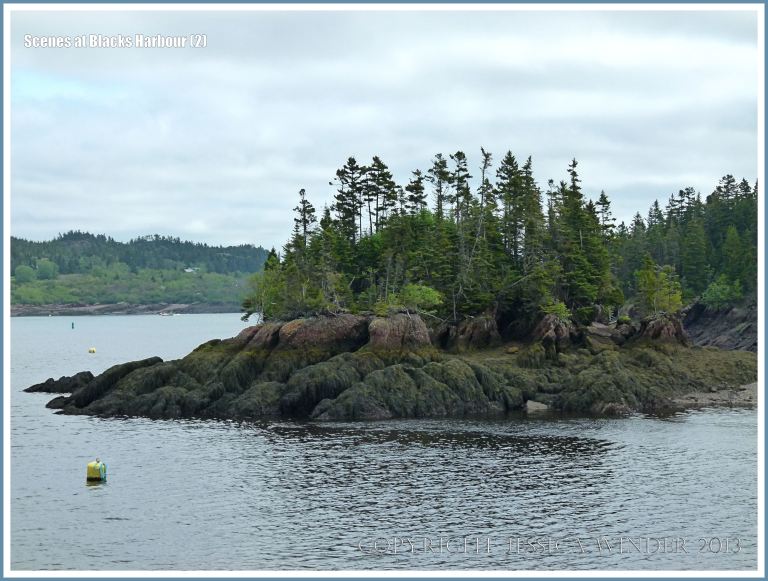
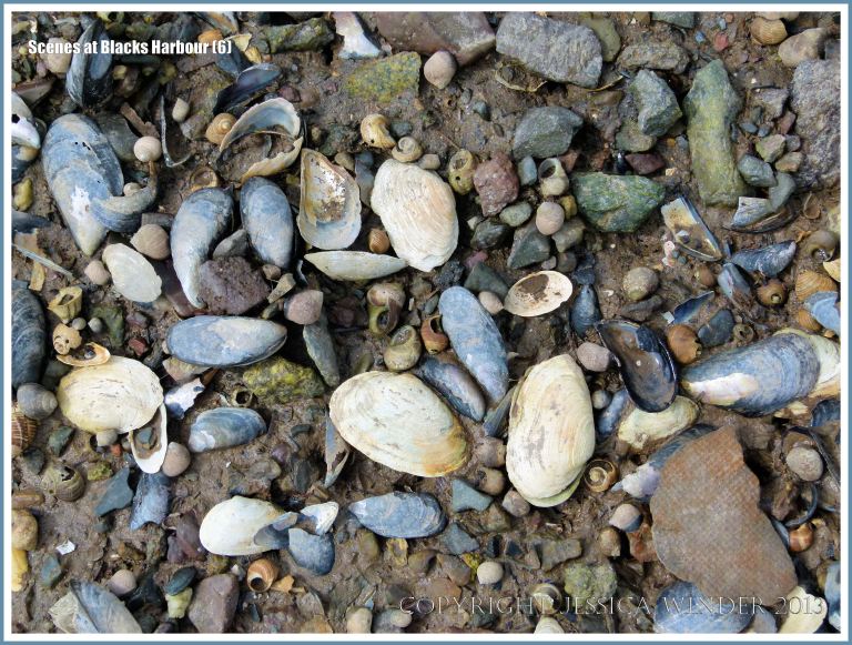
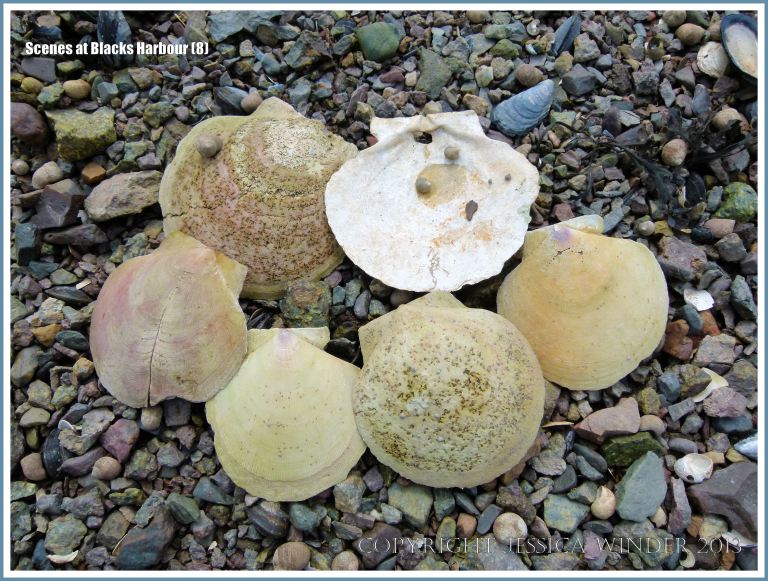
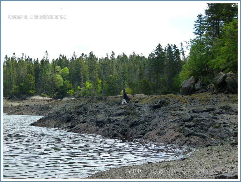
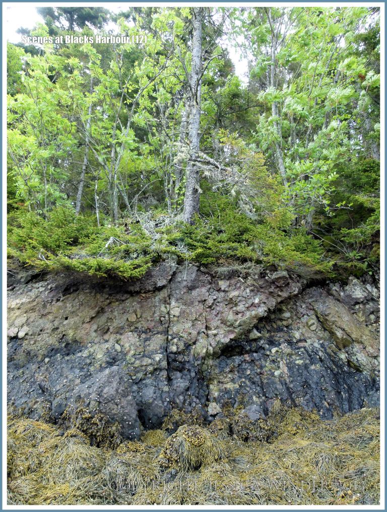
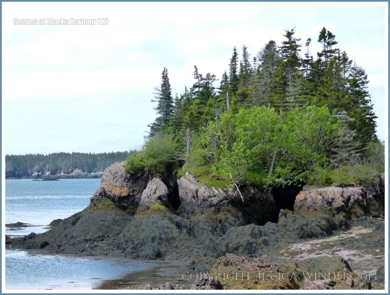
The scenery around Blacks Harbour in New Brunswick, Canada, demonstrates the effects of the extreme tidal range and scour on the coastline. The shoreline as far as the eye can see is marked by a wide dark band immediately above the water line where the rocks are draped with olive brown seaweeds. Above this lower region of the inter-tidal zone is an upper drier inter-tidal band mostly comprised of bare bedrock. The rock is light in contrast to the wrack on the shore below, and appears pink in many places. The rock belongs to the Late Devonian Perry Formation which is mostly a red and green conglomerate of angular fragments deposited in former fluvial environments – a rock type which it seems is easily eroded by wave action. Dense woodlands cloak the slopes above this lighter rock zone.
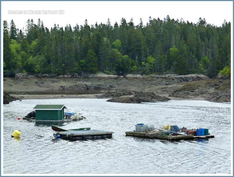
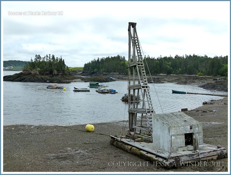
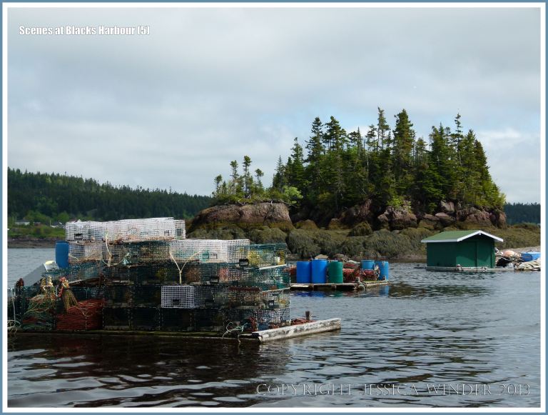
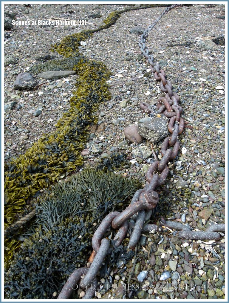
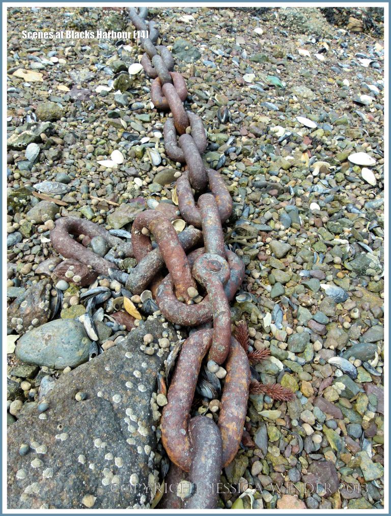
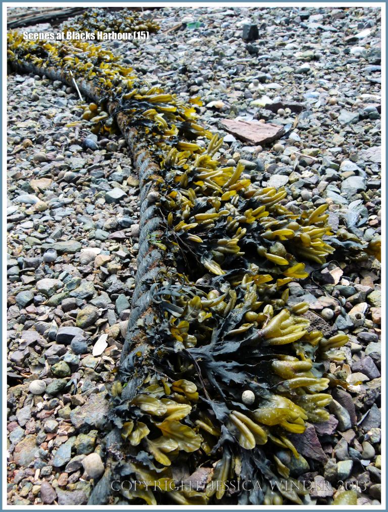
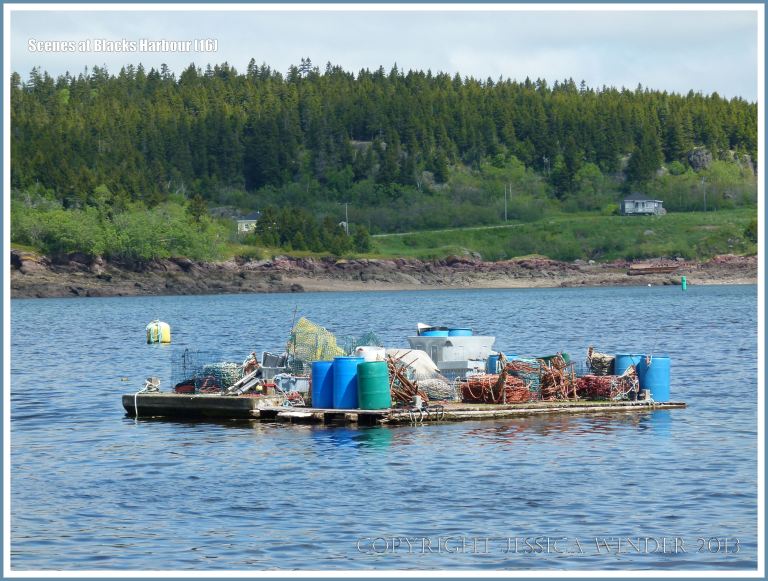
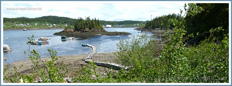
In parts of the Bay of Fundy there is a vertical tidal range of nearly 56 feet at certain times of the year: these tides are the highest tides in the world. [The second highest tides in the world are experienced on the Gower Peninsula in South Wales where I also like to photograph the seashores]. The extreme variations in sea level with the ebbing and flowing of the tides make it hard work for the fishermen to go about their business but, here at Blacks Harbour, the winch, the pontoon walkway across the shore, and the rafts permanently afloat (one even with a hut) to store lobster pots, nets, and other gear, help with the work in these conditions. Concrete mooring weights, rusty iron chains and seaweed-covered ropes are strewn on the stony beach with the weathered remains of former wooden pier pilings.
Earlier posts about Blacks Harbour on the Bay of Fundy:
COPYRIGHT JESSICA WINDER 2013
All Rights Reserved

Enjoyed your post!
LikeLike
Thank you.
LikeLike